Modern map for enormous Roman road network
Author: Harry Lindelauf
Photography: Via Belgica
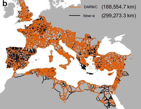
It took four years of monastic labour, but the result is worth it: a new digital road map for the Roman Empire. And that map reveals that the Romans had constructed a network of 103,478 kilometres of main roads in their vast empire. And that network was further refined with 195,693 local roads.
These impressive figures emerge from the updated and expanded data used for Itiner-e. The name stands for a new dataset with which a high-resolution digital map has been made of the roads in the Roman Empire around the year 150. The monastic work in this enormous project was carried out by Tom Brughmans of Aarhus University, Pau de Soto and Adam Pažout of the University of Barcelona together with colleagues. They published their work in November 2025 in Scientific Data.
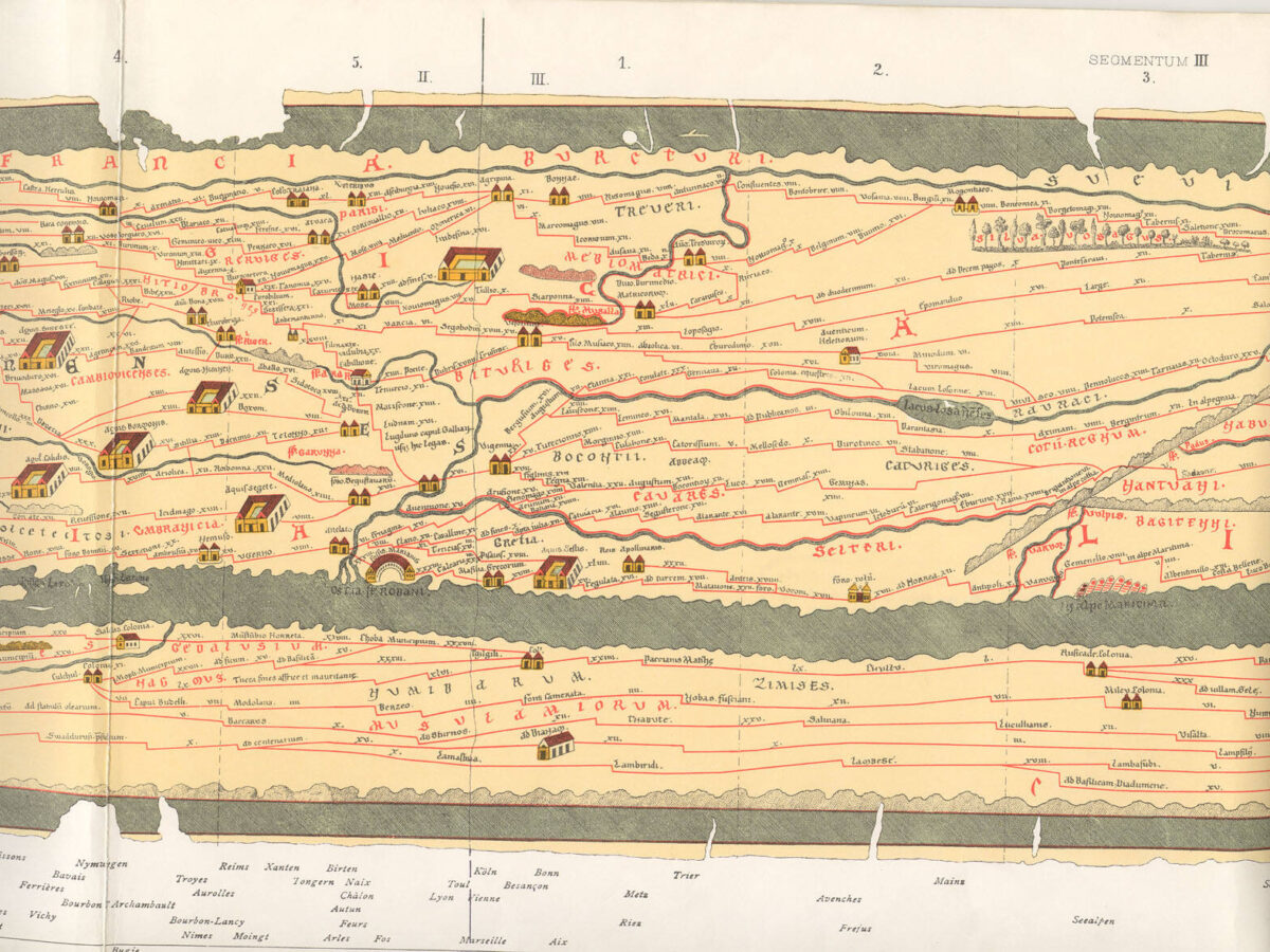
More roads identified
For Itiner-e, the researchers used archaeological and historical information, topographical maps, aerial photographs and satellite images. The new database comprises 299,171 kilometres of roads. That is considerably more than earlier calculations, which came to 188,555 kilometres. The increase is the result of several factors: more roads have been identified on the Iberian Peninsula, in Greece and in North Africa. In addition, earlier routes that, for example, assumed straight lines through a mountain range have been adjusted to the possibilities and impossibilities of the landscape.
photo: Itiner-e: A high-resolution dataset of roads of the Roman Empire | Scientific Data
Cursus publicus
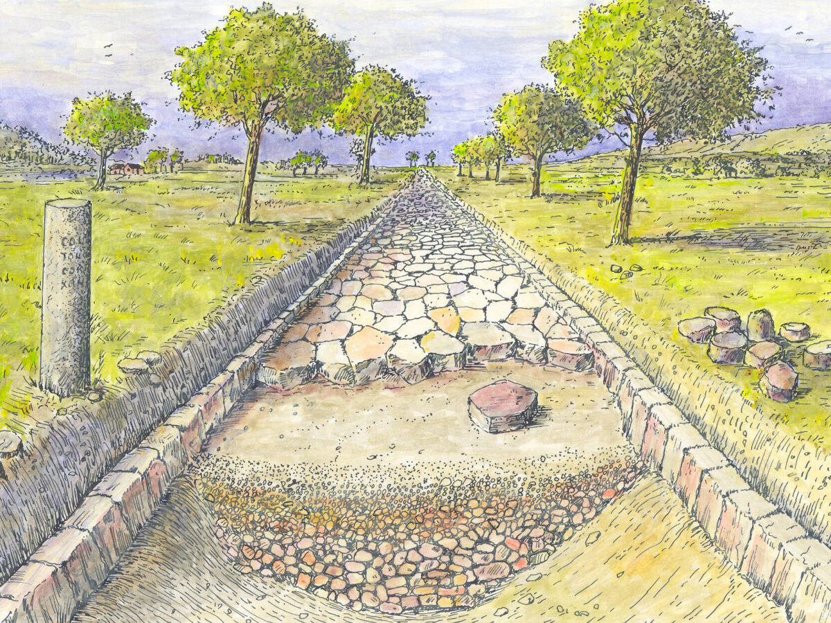
The Romans made their roads great. And the roads made the Romans great. The starting point lay in taking power: for that, armies were needed that, thanks to the roads, could move quickly and in an organised manner. After the army came the farmers and merchants who, thanks to the roads, could sell their products over great distances. And of course the rulers of the empire desperately needed the good connections. They used, for example, the state postal service (Cursus publicus) to exchange decisions and other information.
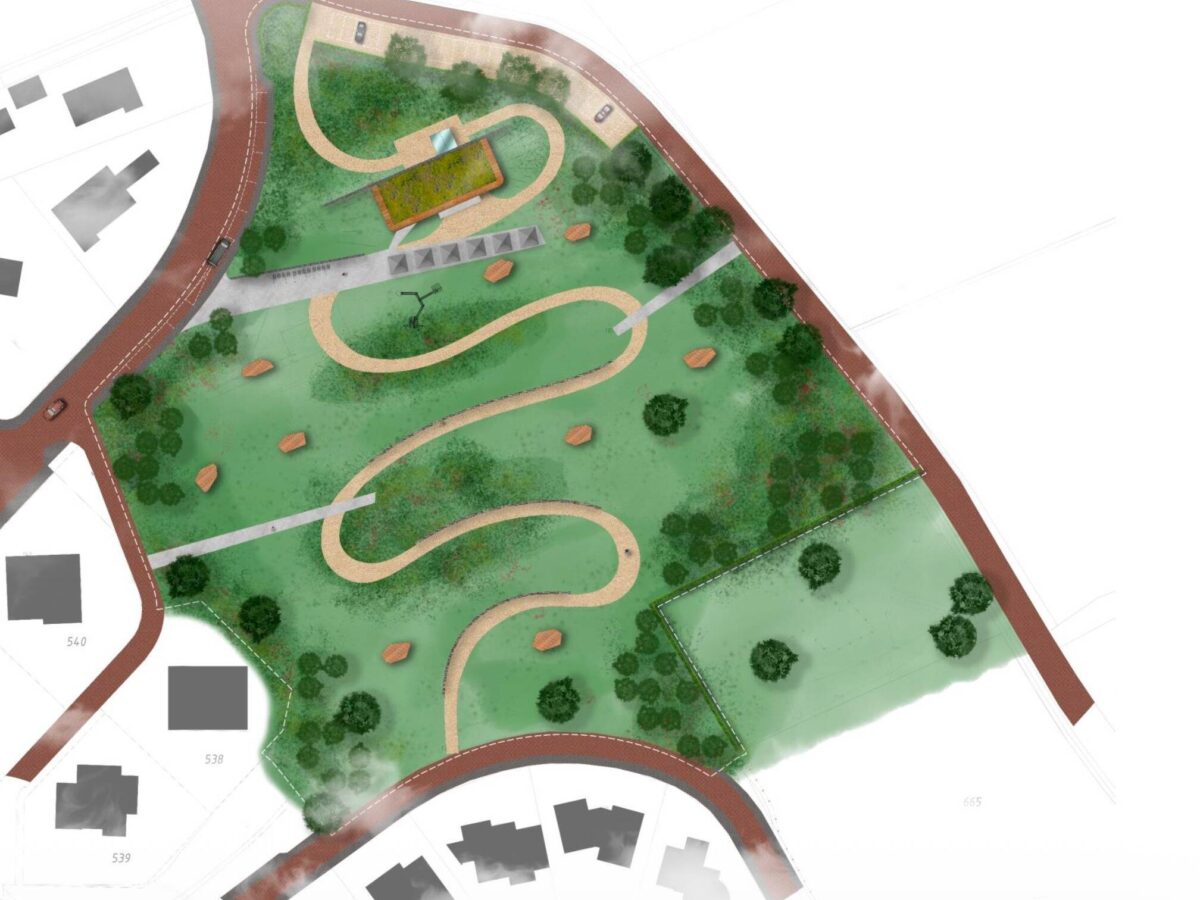
Via Belgica
The Via Belgica between Cologne and Boulogne-sur-Mer also appears on the new map. Remarkably, for this main road between the bridge over the Worm at Rimburg (municipality of Landgraaf) and Heerlen/Coriovallum, two parallel routes are shown. Likely cause: the exact course of the Via Belgica has not been established here. That lack applies to the lion’s share of the road network. The researchers report that the precise location of only 2.7% of the roads is known with certainty. For almost 90%, there is less certainty, and for more than 7%, the route is reasoned guesswork.

Discover the promo film here.
Explore the Roman road map here.