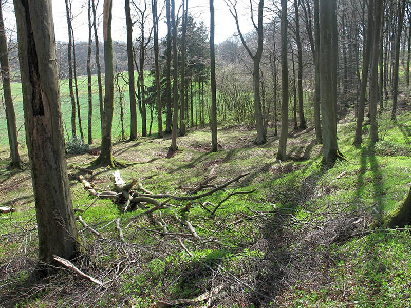
Agrippastraße in Eichertal in Nettersheim
Agrippastraße in Eichertal
Clearly visible in the rock: Deeply cut ruts on the exposed section of the Agrippa Road testify to the fact that horse-drawn vehicles such as transport wagons and passenger carts traveled here for many years. Following the path north towards the Urft Valley, the exposed embankment of the Roman road is visible in the slope rising to the side.
The Eichtertal valley opens from the south towards the Urft valley. This made it ideal for a branch of the Roman road, as carts could travel more easily here than on the road further east, which wound its way up the steep southern slope of the Urft valley.
The railway line that passed through this area ran through what is now the town of Marmagen and alongside significant ore deposits. In Roman times and later, iron ore was primarily mined in open-pit mines. Funnel-shaped pits, known as “pingen,” in the Weilerheck/Weilerbüsch area bear witness to this.
Coming from Cologne, the Agrippa Road split into two routes near Kall, which rejoined southwards near Schmidtheim. The western route split again shortly before the Urft Valley, crossing the river at different points. The eastern route through the Rosenthal valley was the more direct connection, but it also included the steep southern slope. This route passed through the Roman settlement of Marcomagus.
Fun to know
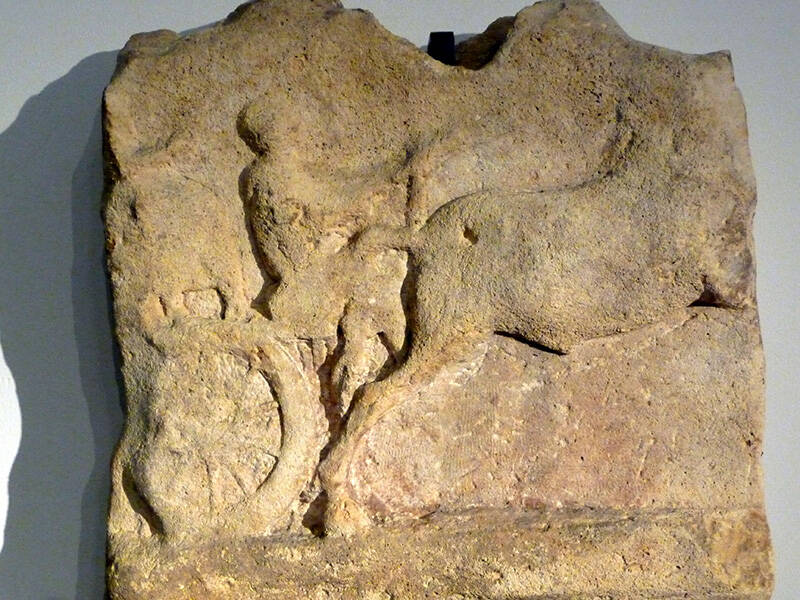
- First photo: a coachman on the wagon: the relief from Jünkerath dates from the 2nd-3rd century AD and is on display at the Rheinisches Landesmuseum Trier. Photo: Rheinisches Landesmuseum Trier
- Second photo: the sinkhole fields in the Weilerheck area near Marmagen bear witness to open-pit ore mining. Photo: W. Wegener, LVR-Amt für Bodendenkmalpflege im Rheinland
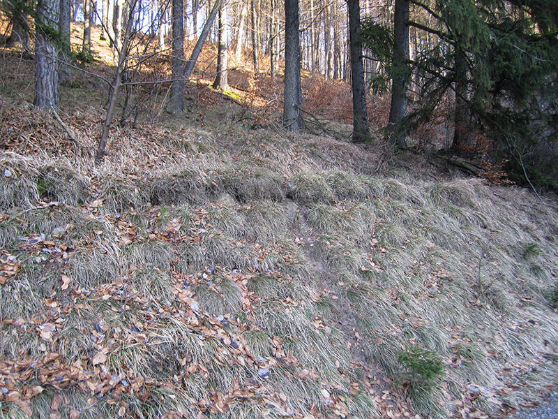
- Third photo: profile of the structure of the Roman road on the slope. Photo: H. G. Horn