Despite modern technology, Via Belgica still plays hide-and-seek
Author: Harry Lindelauf
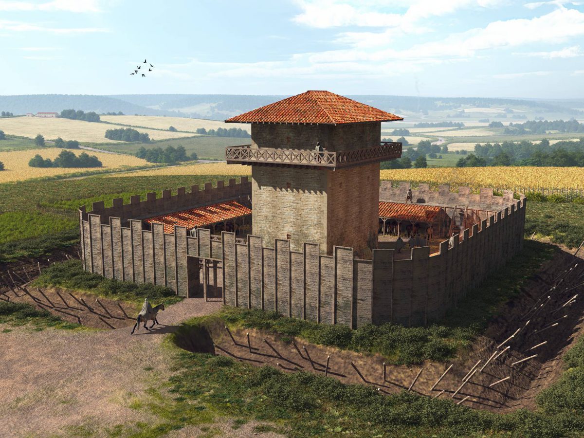
Photography: Via Belgica
Satellite images, ground radar, super-smart software. The most modern techniques have been used to trace the precise route of the Via Belgica. But unfortunately, large parts of the exact course of the road remain a mystery. An overview of what we do know and where we are still searching..
How difficult can it be — Roman roads are always dead straight, aren’t they?
That myth of straightness is very persistent because it is repeated so often. The reality is that Roman road builders made compromises in ways that still inspire great admiration today. The course of a road looks for the shortest connection, but under certain conditions:
- militarily safe,
- as little height difference as possible,
- protected from flooding or wash-outs,
- as few bridges as possible.
Within this set of demands, straight sections are built. So see the Via Belgica as a string of straight parts with bends and slopes only where unavoidable.
How did those road builders know which direction to take?
Probably — we do not know for sure — they used knowledge borrowed from the Greeks about celestial bodies to determine the general direction. On a local level they explored and analysed the landscape to make their choices. Once the course was chosen, it was marked out with special surveying instruments. This allowed them to lay out straight lines, work level, or determine controlled gradients. We also cannot exclude that the Romans made use of paths and roads of the Eburones who lived in the region.
How big is the mystery, really? I find quite a few reports online about places where the Via Belgica has been found.
You are right, considerable stretches have indeed been found. Between Maastricht-Daalhof and villa Kanjel on Meerssenerweg in Maastricht, we know almost the entire route. Then the road was found near the Putweg in Houthem and at Château Sint Gerlach. After that, the route is unknown until Voerendaal at industrial area Lindelaufer Gewande and Bergerweg. In Heerlen we also know the course fairly well: entering Heerlen alongside Valkenburgerweg, towards Uilestraat, under the town hall towards Putgraaf. The road climbs out of the Caumerbeek valley next to monastery Huize De Berg towards Landgraaf. Well before the Kisselbos the road disappears again. There are reports of Roman road sections in Landgraaf at Koeweg and Delleweg, but it is not certain that these are part of the Via Belgica. In Landgraaf it remains a riddle until Rimburg. There, the road has been found on both sides of the river Worm, including the associated bridge.
So where exactly is the hide-and-seek taking place?
The biggest mystery is the route starting from Broekhem: how did the road ascend from the Geul valley towards the hill of Klimmen, and descend again on the eastern side of Klimmen towards Voerendaal? Weak pun: the road is gone. Probably covered by soil washed down from higher ground. But the gravel from the Roman road was also reused by the population, and over the centuries roads were built on top of it. Another mystery is the course between Kisselsbos near Heerlen and the Worm valley near Rimburg.
And we still cannot manage to find the road again?
No, not to this day. Karen Jeneson, curator of the Thermenmuseum, has even used smart software to study the section Valkenburg–Klimmen. The software calculates, based on contour lines and other factors, which route offers the lowest cost/effort to go from A to B. Unfortunately, although the calculations produce several possible options, there is no tangible evidence on the ground. And fans of straight lines offer no solution here either.
But Roman tower remains were found near Walem, right? Then we know where the road ran?
Indeed, remains of a foundation were found on the Goudsberg. But whether the road passed there has not been established. Did the tower have a watching function for the safety of travellers, was it a signal tower for transmitting messages, or a refuge tower in case of danger? We do not know. By the way, the Romans also struggled with this part of the Via Belgica because at 146 metres above sea level this is the highest point. For comparison: their bridge in Maastricht was around 47 metres, the Roman bridge over the Worm 87 metres.
Will this ever be solved?
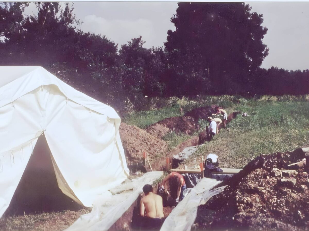
You mean whether we will ever find the missing sections? Opinions differ — of course. Personally, I am on the pessimistic side. It requires expensive excavation work at multiple locations to resume the search. You would need to dig at many points and the money for that will not be available. We will therefore have to rely on lucky strikes during construction work. But of course, you may keep hoping. After all, that’s what people who buy lottery tickets do too.
With thanks to Béatrice de Fraiture.
It requires expensive excavation work at multiple locations to resume the search.— Béatrice de Fraiture