Via Belgica in Aldenhoven
Via Belgica
Where fields and farmland lie today, around 2,000 years ago the Roman long-distance road from Cologne to the Atlantic coast once ran. It extended in a perfectly straight line for four kilometers through what is now the municipality of Aldenhoven, but was abandoned west of Jülich after the end of the Roman period. Nevertheless, the route can still be traced today—for example, through aerial photography or laser scanning.
The farm track at this location is one of two short sections where the present-day path still exactly follows the historical route. One reason for this is that the course of the road continues to function as a boundary between land parcels. In Aldenhoven, the edges of the Via Belgica were once lined with four Roman settlements. Evidence of this comes from three debris sites located at intervals of about 300 meters along the road.
These include a watch post and a civilian road station. In addition, a Gallo-Roman temple stood just two kilometers to the east. Roman bricks and pottery indicate the presence of further buildings. Away from the road, there were also numerous estates, forming a dense network across the entire Jülich loess plain and supplying towns and military camps with agricultural products.
Fun to know
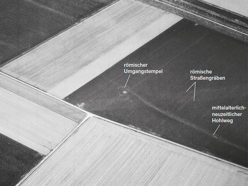
- First photo: an aerial photo from 1953 shows a sanctuary along the Via Belgica. Photo: G. Amtmann, LVR Bureau for Archaeological Heritage Management
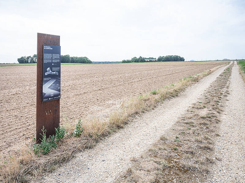
- Second photo: Information panel. Photo: Norbert Dreßen
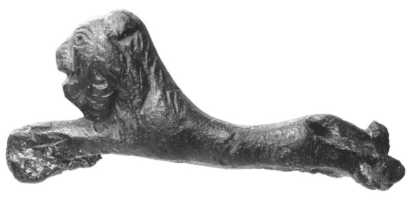
- Third photo: the small bronze lion, now on display in the Citadel Museum in Jülich, was probably part of an insignia worn by the beneficiarii, the Roman road police. It was found in Aldenhoven, north of the Via Belgica. Photo: H. Lilienthal, LVR-LandesMuseum Bonn