Agrippastraße in Eickser Busch in Mechernich
Agrippastraße in Eickser Busch
From Irnicher Berg, the Agrippa Road runs in a straight line to the second crossing of the Rotbach stream near the Eickser Mill. Visible on both sides of the valley are cuts in the terrain, indicating the slightly sloping course of the Roman road across the waterway. While the road on the north side is now buried, it is clearly recognizable on the south side.
At the foot of the Irnich mountain, the Agrippa Road reaches the foothills of the Eifel region. It ascends the Irnich mountain via a sunken lane that now winds gently. Where the Matthias Stele marks a waypoint on the pilgrimage route from Neuss to Trier, there may have been a Roman watchtower, as there was an excellent view as far as Zülpich and, in good weather, even to Cologne.
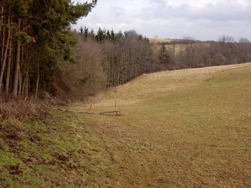
From the Rotbach crossing, it’s about one kilometer to the Eickser Busch, where the route continues for a good two kilometers through the forest. Two parallel paths remain there. A road cross-section dug at this point shows that these are two successive routes that overlap in places. The older road was barely paved. Presumably, it therefore had to be rebuilt – with a massive, six-meter-wide sub-base of gravel. On top of this lay up to twenty thin wearing layers of sand, which were renewed as they wore down.
Two stones in the middle of the road indicate the presence of a channel. Two further channels, up to 0.8 meters deep and running parallel to the road on the hillside, have been filled in over time. Water was diverted through them. If you follow the road to the edge of the forest near Hostel, their embankment is clearly visible in good light, although it has become considerably flatter due to agricultural activity.
Fun to know
- Photo: M. Thuns, LVR-Amt für Bodendenkmalpflege im Rheinland