Archaeological Landscape Park in Nettersheim
Archaeological Landscape Park
Marcomagus: A vicus on the Urft River
A Roman settlement extended along the Agrippa Road near Nettersheim, descending into the Urft Valley. It is assumed that this vicus, which has been investigated by the Archaeological Institute of the University of Cologne since 2009, is the ancient Marcomagus. This place name is already recorded on the Tabula Peutingeriana, a late Roman road map.
Below a shrine to the Matronae, the so-called Görresburg, this vicus developed, characterized by its typical strip houses oriented with their narrow sides facing the street. Construction of the settlement began no later than the second half of the 1st century AD. Merchants and craftsmen settled here. The center of the village, with a public square and a road station, was located in the Urft valley. The beneficiarii stationed here were responsible for monitoring the road.
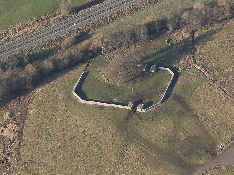
During the Frankish invasion of 275, the settlement was seemingly completely destroyed. Most of the buildings were not rebuilt afterwards. Only the central area in the Urft floodplain remained inhabited. A small fort was built on this site at the beginning of the 4th century.
The Archaeological Landscape Park in Nettersheim
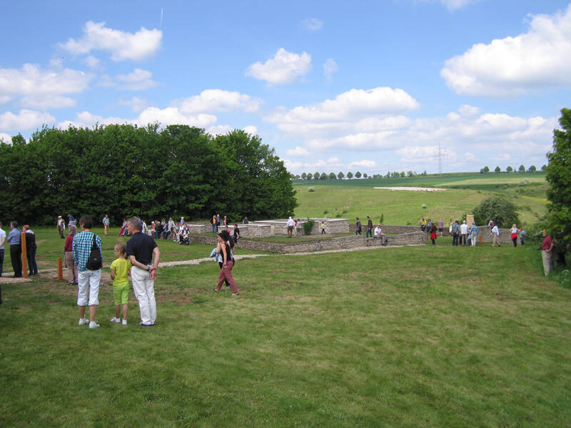
As part of the “Erlebnisraum Römerstraße” project, the municipality of Nettersheim has created an archaeological landscape park, which was opened in spring 2014. The archaeological sites have been made visible and accessible within the park. An experience trail invites visitors and hikers to get to know everyday Roman life. Admission is free.
Families and groups can also find a wide range of specially tailored events and activities that allow them to immerse themselves directly in Roman life.
Fun to know
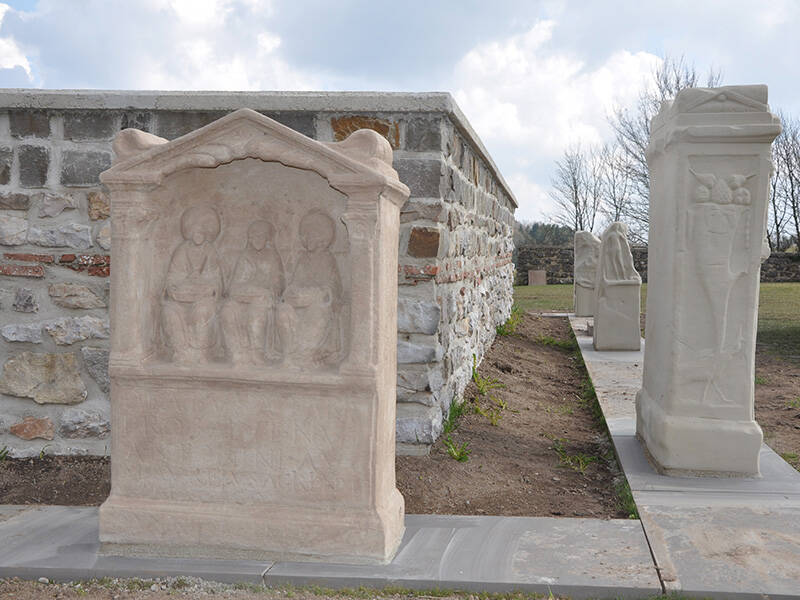
- First photo: the votive altar with matrons in the Nettersheim Archaeological Landscape Park. Photo: N. Andrikopoulou, LVR Office for Monument Preservation in the Rhineland
- Second photo: matron stones on the so-called Görresburg. Photo: Municipality of Nettersheim
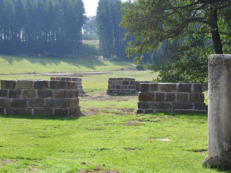
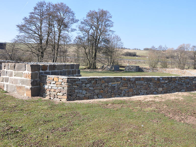
- Third photo: defensive structure and Roman milestone in the floodplains of the Urft. Photo: Municipality of Nettersheim
- Fourth photo: defensive structure. Photo: Municipality of Nettersheim
- Fifth photo: the small castellum from a bird's-eye view. Photo: Municipality of Nettersheim