Roman landscape
Vrouwenheide, Voerendaal
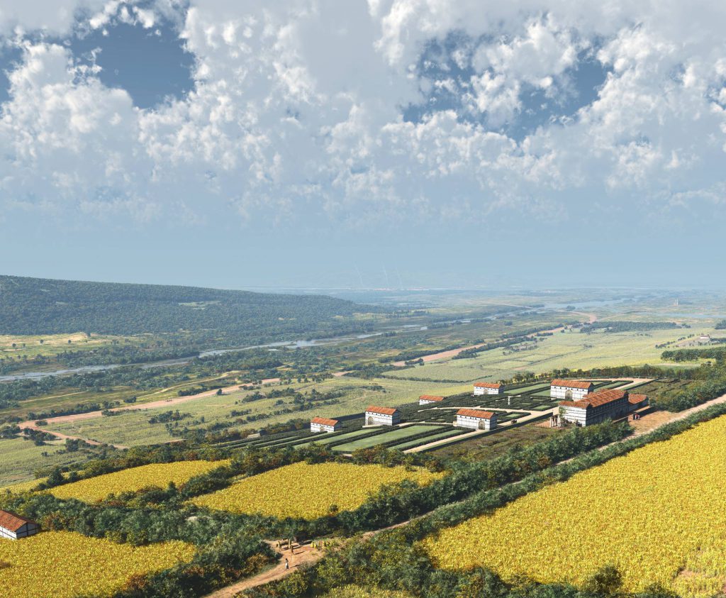
The landscape you see around you is essentially the same landscape that the Romans encountered here about 2000 years ago. The surroundings were attractive: the soil was fertile and contained all sorts of useful raw materials. And it even looked like home. For the Romans, this region was therefore an ideal place to settle. And it still is today.
Of course, much has changed over time. If you look north, you can see the city of Heerlen. In Roman times, this was the much smaller settlement of Coriovallum. To the left lies a forest called “Putberg”. In the forest is a quarry where limestone has been extracted since Roman times: Kunrader stone. This is a hard type of marlstone, very suitable as building material.
From this spot you could probably see the two most important roads in the region. In the north ran, from west to east, the Via Belgica. The road connected Maastricht with Heerlen and ultimately the French coast with Cologne. In the east ran, from north to south, the road from Xanten to Aachen: the Via Ulpia Traiana. The roads crossed each other in Coriovallum: an important junction in the road network of the Roman province Germania Inferior, Lower Germany, of which the southern Netherlands was a part.