Villa Ravensbosch — Still a Roman Mystery
Author: Harry Lindelauf
Photography: Harry Lindelauf en RMO
For almost 175 years, the mystery of the Ravensbosch has endured. The unanswered question remains: what was the purpose of this Roman building in the forest? Archaeologists are searching for answers in various directions. Yet on one point they are all in complete agreement: a new investigation is much desired.
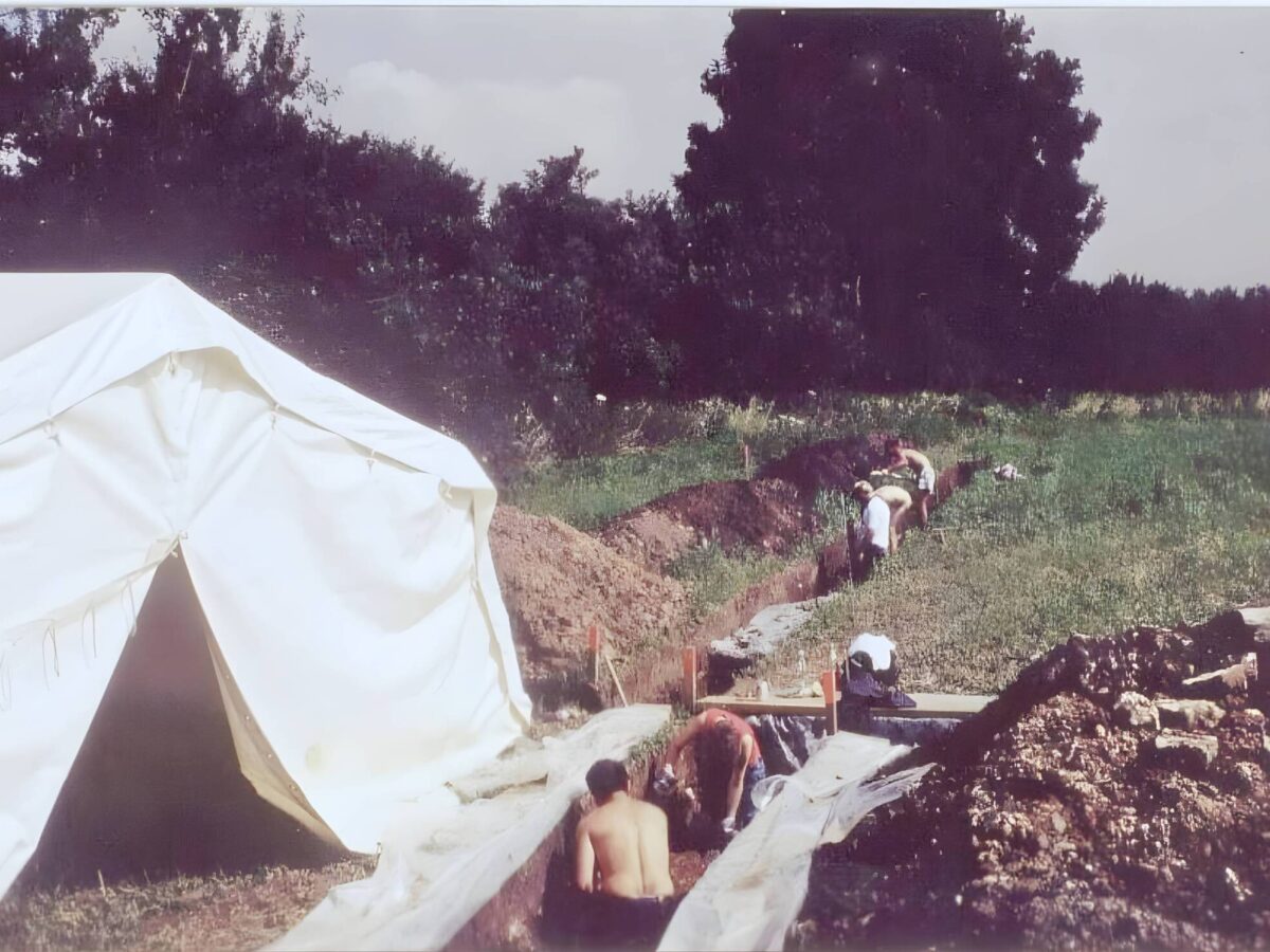
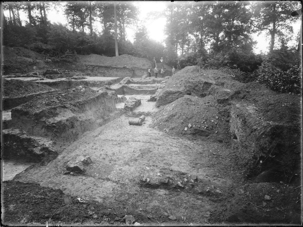
It is not that research has been lacking. Leonhardt Janssen, curator of the Rijksmuseum van Oudheden (RMO), excavated in the Ravensbosch in September 1850. Priest-archaeologist Jos Habets continued digging there in 1865, and in 1918 Jan Holwerda from the RMO arrived with a team. In 1922 and 1923 he returned with Willem Goosens and RMO archaeologist August Remouchamps. Around 1995, another team of archaeologists came to examine the remains once more. Meanwhile, illegal visitors, with or without metal detectors, have shown deep interest in the site. By now, Ravensbosch may well claim the title of “most looted Roman site in the Netherlands.”
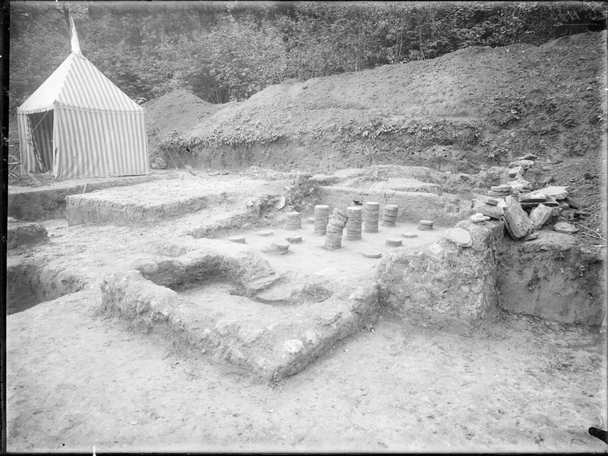
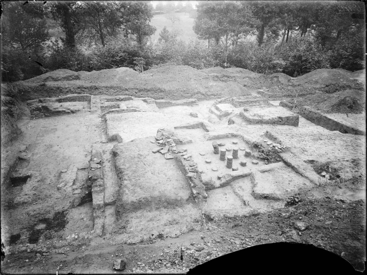
Photo: During the excavations of 1922 and 1923, the foundations of the heating room and the hot-water bath were discovered.
What has all that official digging produced?
Quite a lot. Here’s what was found: the remains of a circular building — possibly a sanctuary — and five stone ash chests located near that sanctuary. The finds also included fragments of amphorae, cooking pots, jugs, plates, bowls, cups, and coins (including some from Nero’s reign).
But the top discovery consists of the remains of buildings near the Strabeek and Beekstraat. The main building is 37 metres long and 16 metres wide. Its front features a covered colonnade and two square corner towers. The villa had underfloor and wall heating, a bathhouse with hot and cold-water baths, and a cellar. Some 40 metres away stood an outbuilding measuring 16 by 8 metres. The terrain in front of the buildings was partly cut into the steep forest slope.
In the immediate vicinity, archaeologists can indulge their passion for Roman remains: so far, fourteen Roman buildings and farmsteads (villae rusticae) have been identified. This concentration is linked to the fertile Geul valley and the Via Belgica, which runs a few hundred metres away.
All right, that we know. But is anything else known?
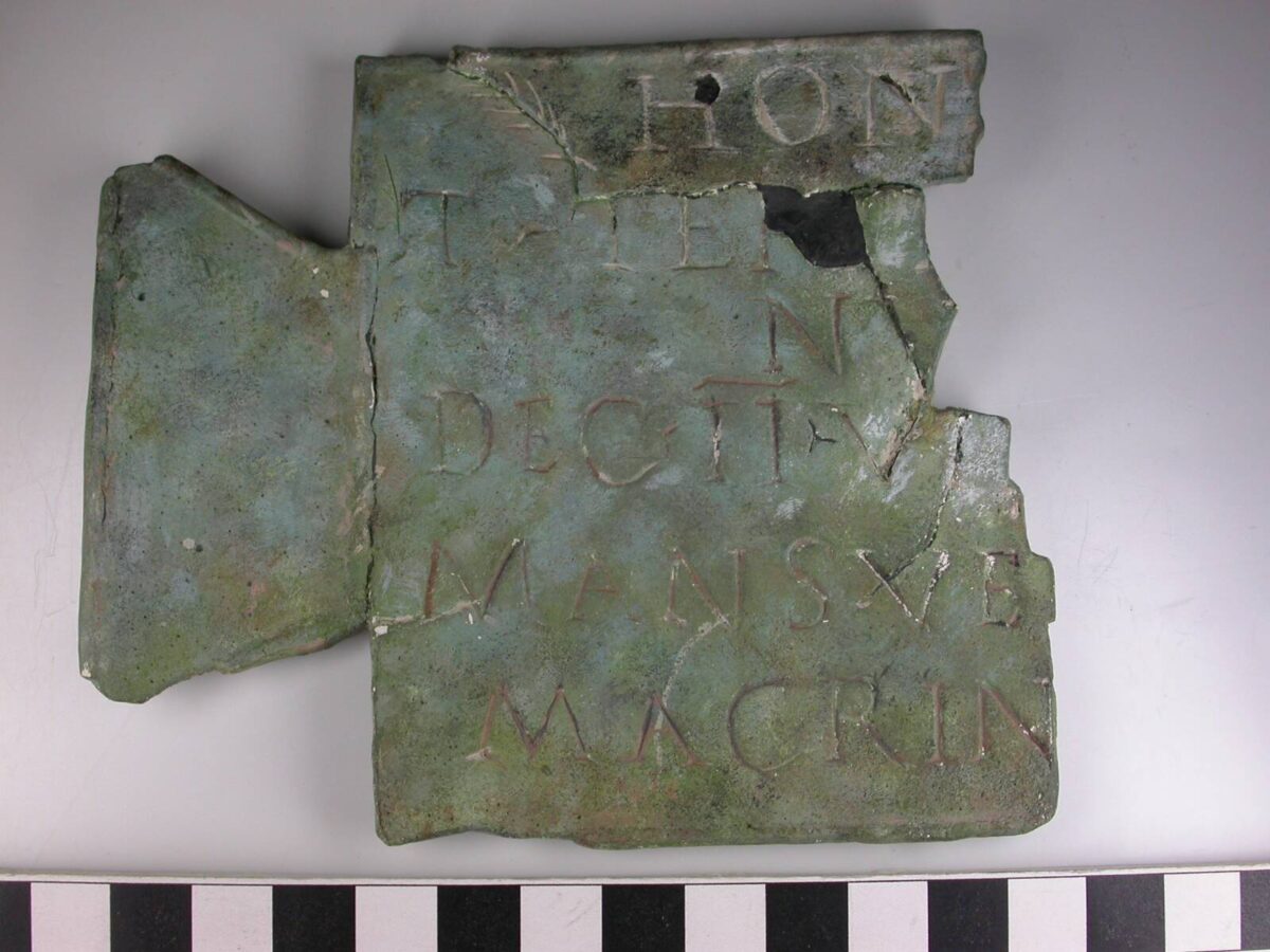
Yes — we even know by name which Romans lived here. They were Marcus Vitalinius and Titus Tertinius Cornutus. Their names are engraved on three bronze “friendship plaques.” These plaques likely belonged to a gift — perhaps a bust. On one of them, a certain Julius confirms his friendship with Marcus Vitalinius, a member of the city council of Roman Xanten. On the reverse of this plaque is a later inscription, in which the tribe of Catualium (modern Heel) pays tribute to Titus Tertinius. His name also appears on a second plaque; like Marcus, Titus was an official in Xanten.
Photo: Thanks to the bronze plaques, we know the names of two residents of the Villa Ravensbosch: Marcus Vitalinius and Titus Tertinius Cornutus.
So what is the mystery of the Ravensbosch?
It lies in the unusual location where the Romans built this complex — at the foot of a steep wooded slope, just above the modest Strabeek, with the façade facing west. The location deviates so sharply from the usual south-facing farmsteads that the classification “villa rustica” for this building is questioned. As early as 1925, August Remouchamps wrote that there must be more going on here: “In the so-called Ravensbosch, so many Roman buildings and other remains have been found that one might rightly think of a Roman vicus (village).”
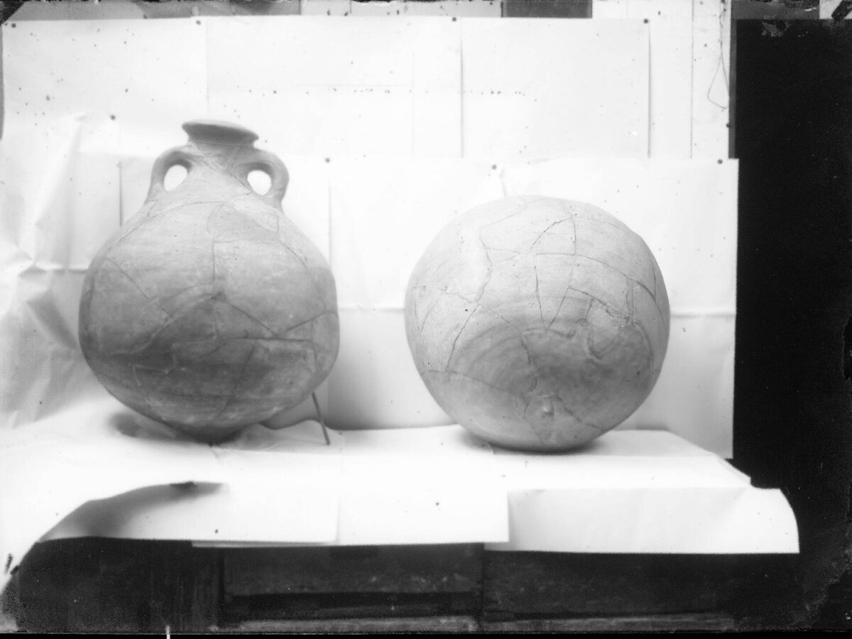
Photo: Amphorae found during the excavations of 1922 and 1923.
From mystery to answers — what possibilities are on the table?
Some interesting ideas from experts. Archaeologist and Thermenmuseum curator Karen Jeneson finds Remouchamps’ vicus idea intriguing.
As she explains: “This is such a strange place for a villa rustica. To me, it absolutely feels like a vicus. It would also be a logical location — roughly halfway between the Roman predecessors of Maastricht and Heerlen.”
She offers another possibility: Ravensbosch as a Roman way station for travellers. “At this site, wagon drivers might have been able to hire an extra team of oxen for the climb from the Geul valley up to the Haasdal plateau.” This theory assumes there was a road running along the Strabeek.
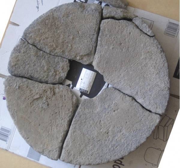
Photo: Remains of the waterwheel and wooden embankment in Rimburg — the only Roman watermill found so far in South Limburg.
A village, a way station with oxen rental — anything else?
Yes. The next idea comes from Jasper de Bruin, curator for the Roman period at the Rijksmuseum van Oudheden. He agrees with Karen Jeneson that the forest location is too unusual for a Roman farm. Looking at the Strabeek’s water, he suggests an entirely different explanation: “Was Ravensbosch perhaps a building connected to a watermill on the Strabeek, where grain from all the farms in the Geul valley was ground?”
For the RMO archaeologist, the mill theory ties into a broader question: “The Romans would not have transported thousands of tons of spelt grain to their military camps along the Rhine. It was far more efficient to transport flour instead of grain — but that requires watermills. So far, only one Roman watermill is known in South Limburg: the Roman mill at Rimburg on the Worm.” This immediately raises the question of where the Romans built other watermills in the region. Jasper de Bruin sees opportunities to explore this further: “It’s my dream to find that out. It would be wonderful if Maastricht University had a chair in regional history. From there, Ravensbosch could make an excellent research topic, along with a study of the landscape. The university could collaborate with local residents who use modern tools such as drones.”
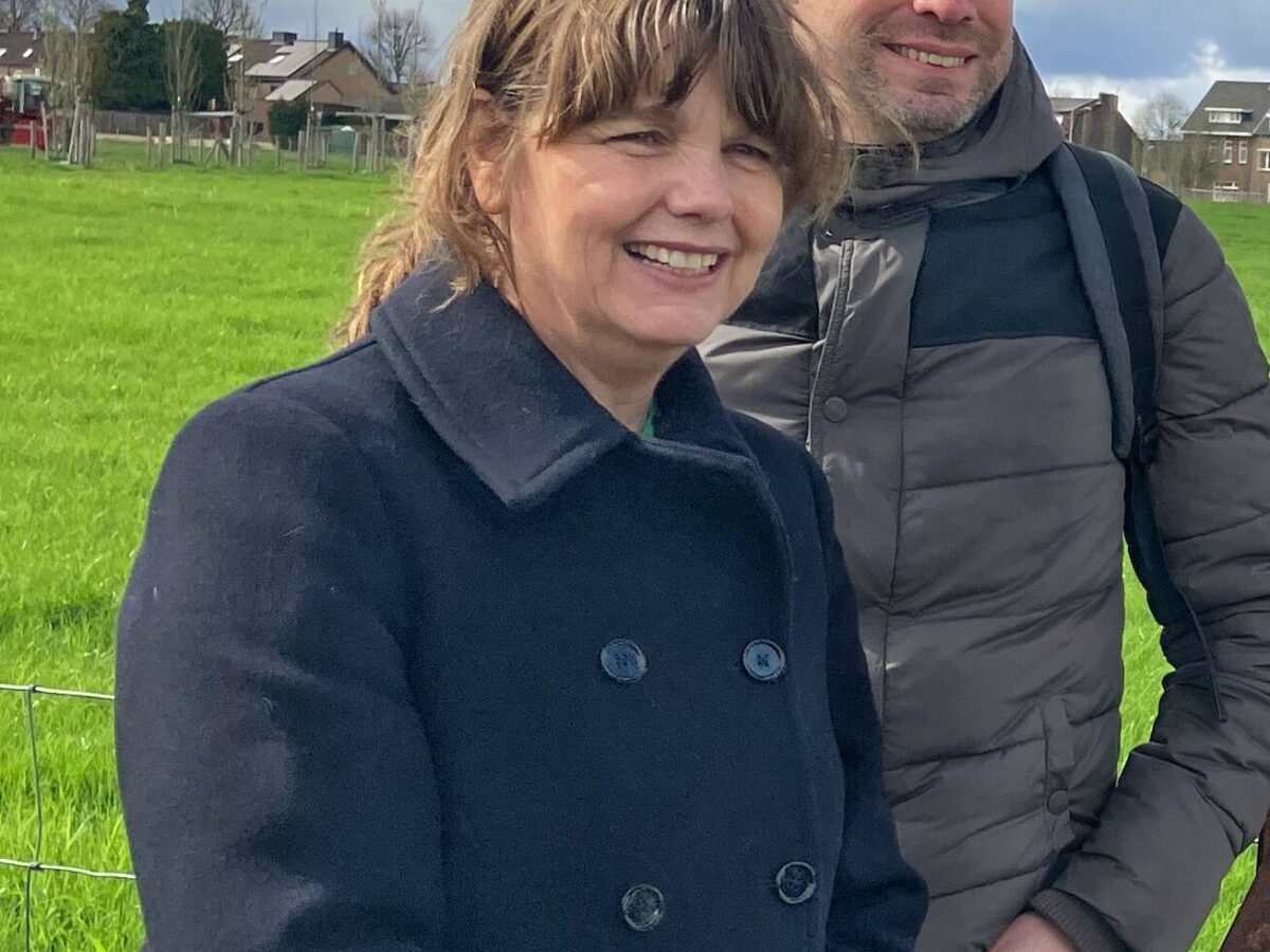
Photo: Karen Jeneson and Jasper de Bruin — “More research, please.”
And another one…
The number of Roman farmsteads discovered in the loess belt between Cologne and northern France continues to grow. In early 2024, archaeologists uncovered the foundations of a large Roman villa in Mechelen-Bovelingen — a village located beyond Tongeren, only a few kilometres from the Via Belgica.
The excavation revealed flint foundations for a building 21 metres long and 11 metres wide.