Heerlen’s forgotten Roman watchtower
Author: Harry Lindelauf
Photography: Harry Lindelauf
The Roman baths and the finds from the Roman period beneath Raadhuisplein in Heerlen attract – quite rightly – a great deal of attention. In their shadow, and largely forgotten, lies a military discovery on the eastern side of Roman Heerlen.
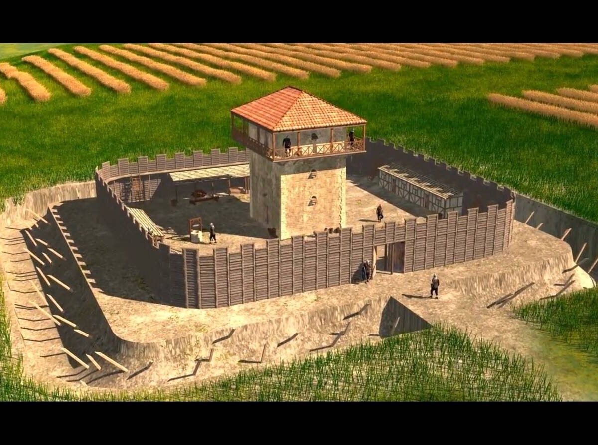
So, let us go back in time to 1935. Heerlen’s first city archaeologist, Piet Peters, then takes action. He hears the story of a farmer who encounters chunks of limestone while ploughing. Peters investigates and ends up at the Oude Scheytergracht. This name refers to a sunken lane that runs from the Caumerbeek valley, behind Huize De Berg, towards the Vossekuilenweg. The archaeologist does what archaeologists do: he digs and discovers the substantial walls of a building measuring 10.50 by 6.75 metres. The walls, made of Kunrade limestone, are 80 to 90 centimetres thick and stand on a foundation of compacted gravel.
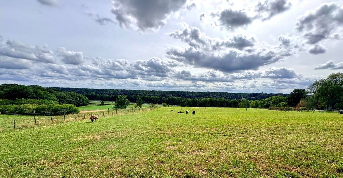
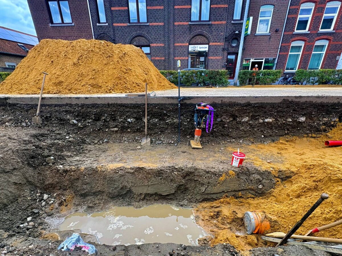
View of the surrounding area
According to Piet Peters, these are very probably the remains of a Roman watchtower. The tower stands about 60 metres from the Via Belgica and offers an unobstructed view westwards towards Coriovallum, on the opposite side of the Caumerbeek valley. But the tower’s occupants also had a view to the north and – even more importantly – to the east, towards Roman Rimburg and its bridge over the Worm. This was more important because trouble usually came from the east, in the form of incursions by Germanic tribes.
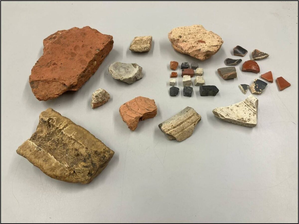
Almost a century after Piet Peters’ excavation, the watchtower is little more than the subject of an article in De Maasgouw from 1935. Apart from blocks of stone, very little was found, with the exception of fragments of millstone carved from lava basalt from the Eifel region.
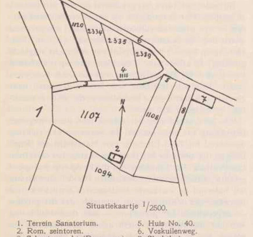
Photo: Plan of the location of Heerlen’s watchtower at the Vossekuil in 1935, drawn by Piet Peters.
Goudsberg
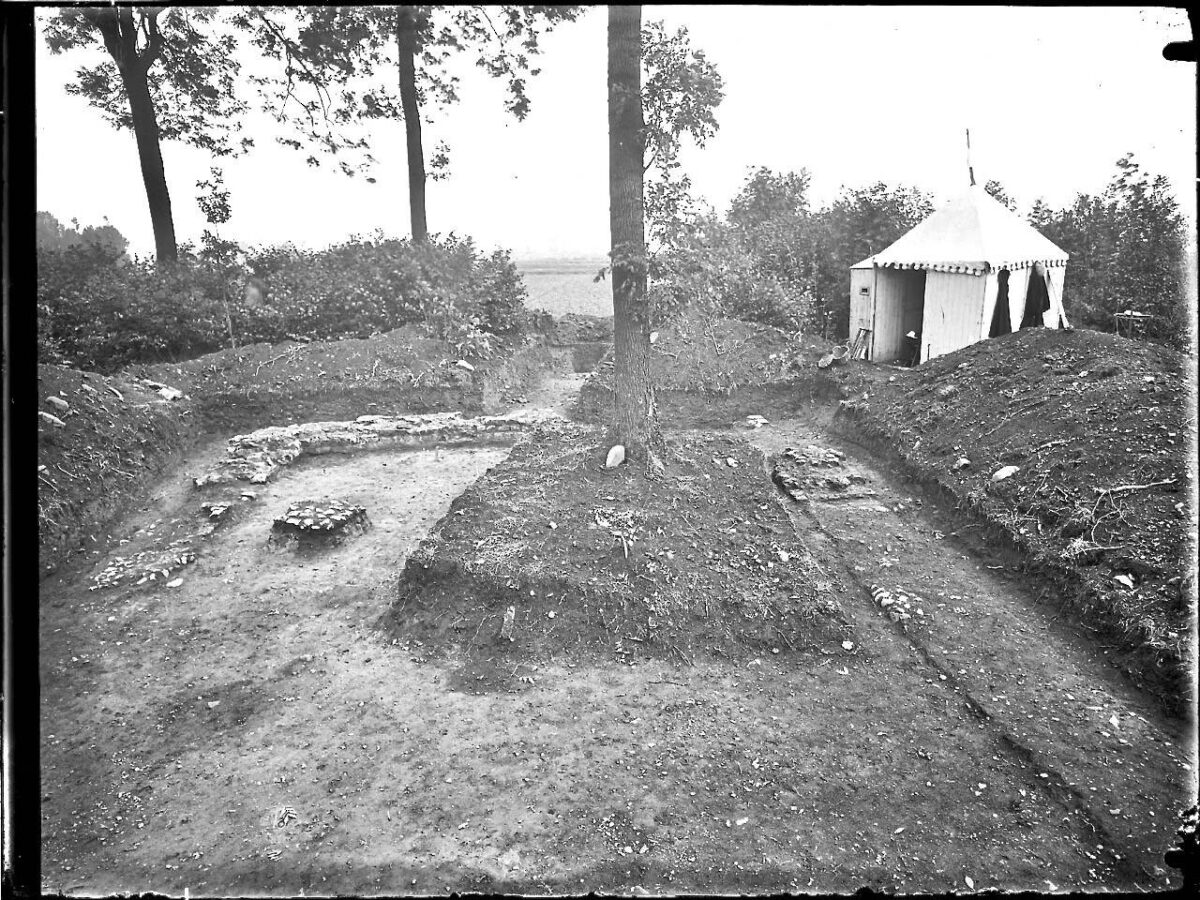
Even today, however, the Heerlen tower remains a remarkable discovery: along the South Limburg section of the Via Belgica, only two other ‘colleagues’ are known, both in the Geul valley. In 1916, archaeologists Goossens and Holwerda discovered the remains of a watchtower on the Goudsberg near Walem. Based on excavated coins and everyday objects, Holwerda concluded that the tower was built around AD 300. Around AD 380, the tower was destroyed by fire.
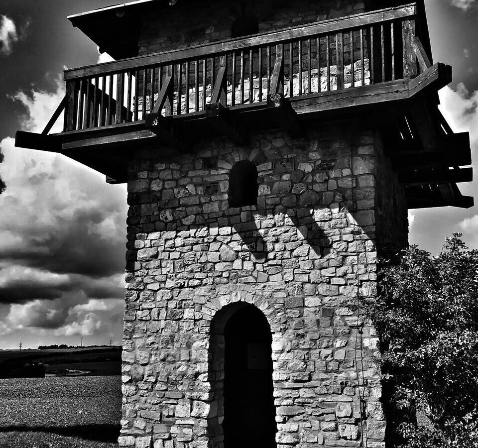
The tower on the Goudsberg offers a good view of the Via Belgica below in the Geul valley. The second watchtower in the Geul valley stands five kilometres to the west, near Rondenbosch in Valkenburg-Houthem. As early as 1865, priest and amateur archaeologist Habets and archaeologists Schuermans and Janssen carried out excavations here. They discovered ditches, ramparts and remains of Roman buildings. Archaeologists disagree about the dating of the various finds, but Habets and Holwerda, an archaeologist from the Museum of Antiquities in Leiden, believed that a Roman fortified tower formed part of the remains.
Photo: View of the excavation on the Goudsberg in 1916.
A larger plan
It appears that the watchtowers were part of a larger plan. Around AD 300, the Romans constructed fortifications near the bathhouse in Coriovallum, while a castellum was built in Maastricht to protect the bridge over the Meuse. The watchtowers also date from this period, and it seems likely that they formed part of a chain of towers along the Via Belgica, as a single tower on its own would have been of little use. The purpose of the watchtowers was to quickly detect signs of danger so that military intervention was possible and looting could be prevented.
Benedictines
The three locations – Heerlen, Rondenbosch and Goudsberg – are known thanks to archaeological excavations. But there are other locations that have been suggested as possible sites of watchtowers, such as the Eikenbos in Landgraaf and the elevated position of the Remigius Church in Klimmen. It is said that, at the latter location, Benedictines in the 12th century made good use of the remains of a Roman watchtower to build a distant predecessor of the present church. Given its location at the highest point in the surrounding area, this sounds plausible. Unfortunately, however, there is (as yet) no evidence.
Photo: The tower at Rondenbos offered a wide view across the Geul valley. The Via Belgica ran through the valley at a distance of approximately one kilometre.